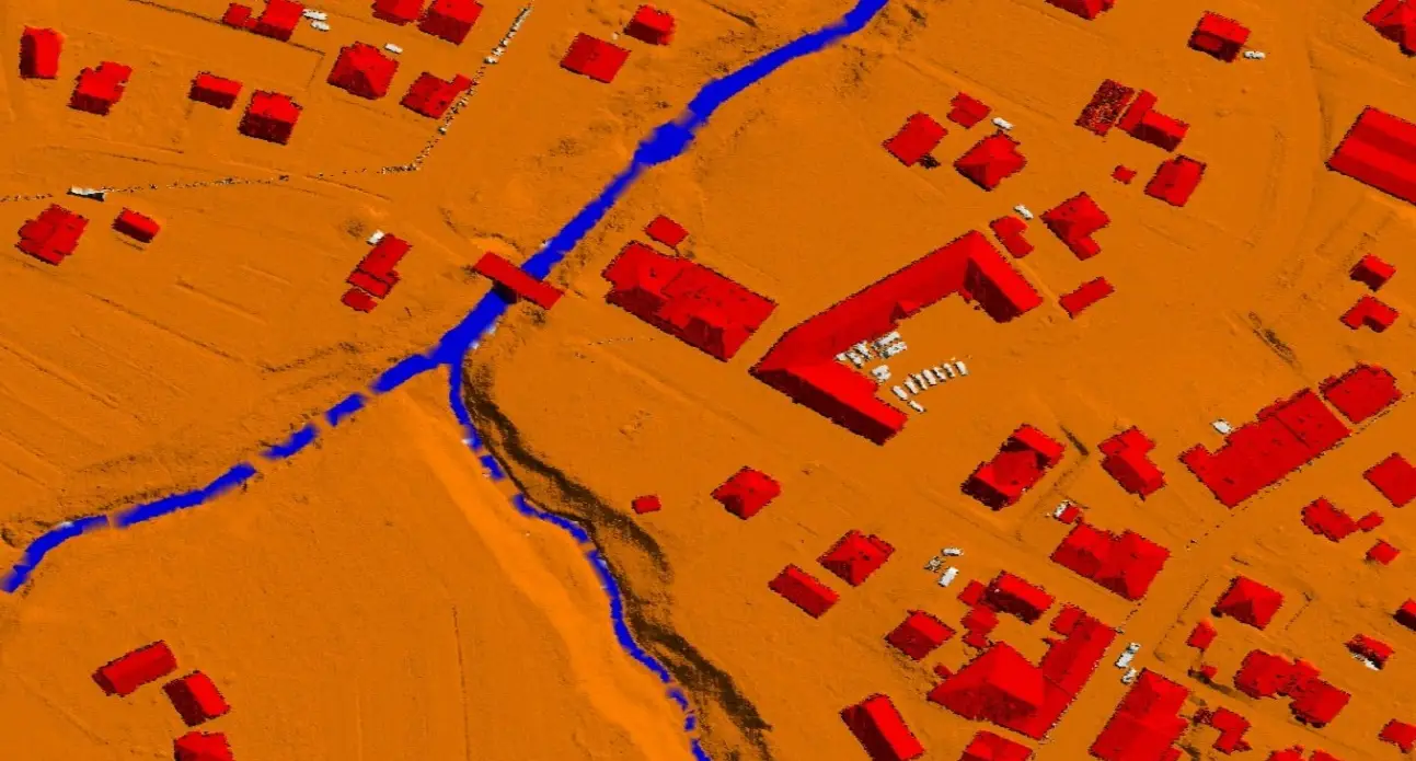
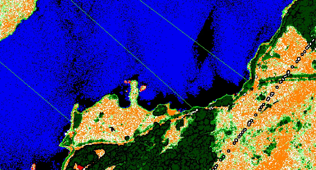
Water Classification and Mapping
Water classification is the process of identifying and delineating water bodies from the surrounding terrain or features within LiDAR point cloud data. Our cutting-edge tools and technology enable detailed LiDAR Contour Mapping and analysis of land use and land cover in any region. LiDAR Contour Mapping for water classification is the process of understanding the surface of an area in terms of changes that occur over a while. We classify the land into water bodies. These maps provide valuable information for water bodies, natural resource conservation, urban planning, disaster management, research, and agriculture.
This knowledge can help develop strategies that balance conservation, use conflicts, and development pressures. Our team at LiDAR Data Services can provide different types of land cover maps for different sectors. We use satellite imagery, LiDAR, other remote sensing techniques, and Data Classification in GIS to create high-precision maps that can be used to support land use decisions like planning and infrastructure development.
Whether you need help with point cloud data to 3D models, mapping, monitoring, or risk assessment, we're here for you. Please contact us if you would like to learn more about our services and how we can help you address your land use and land cover management challenges.
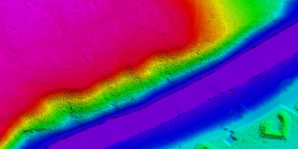
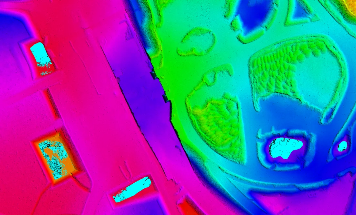
Works
Our Work