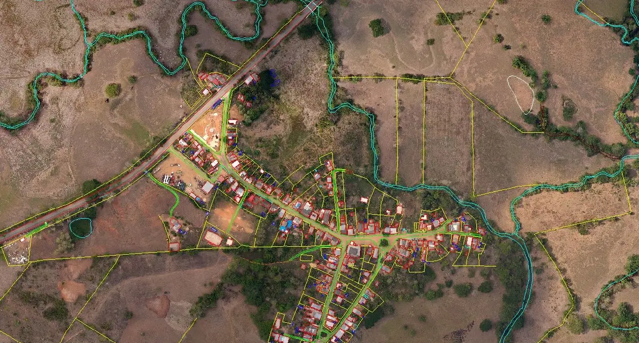
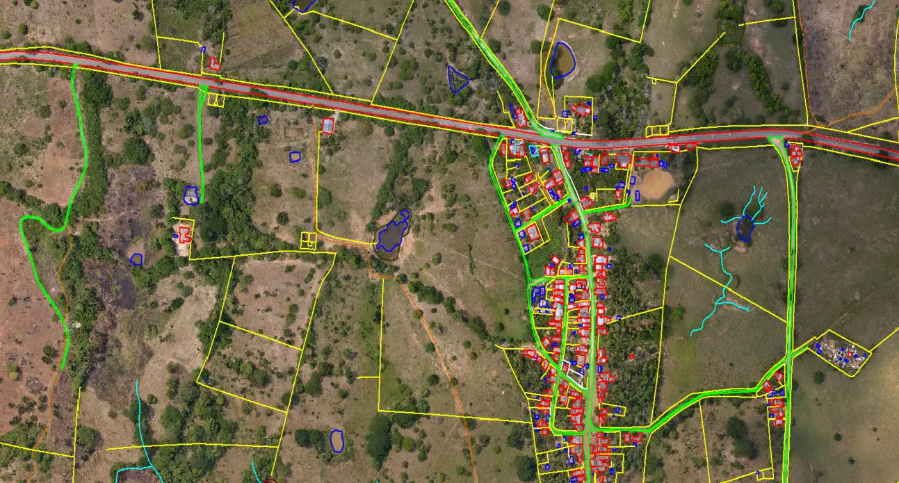
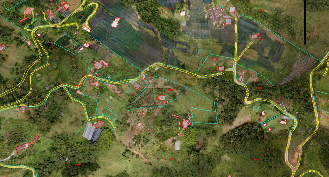
Feature Extraction
Feature Extraction from LiDAR Data and imagery is one of the biggest advances in modern geospatial technology. LiDAR Data Services is a pioneer in infrastructure mapping, especially feature extraction of corridors such as pipelines, roads, and power lines. We employ advanced algorithms and methodologies to extract meaningful features from LiDAR point cloud data.
Our approach for LiDAR Feature Extraction involves meticulous data processing and analysis, aimed at identifying key features such as terrain, buildings, vegetation, and more. We evolved from the industry-leading self-driving vehicle mapping company and brought the best technology and methodologies to the industry. Using our proprietary automatic and semi-automatic technology, we can extract features quickly and efficiently. By utilizing LiDAR's high-resolution, three-dimensional data, we can capture intricate details and provide valuable insights for your projects.
Works
Our Work