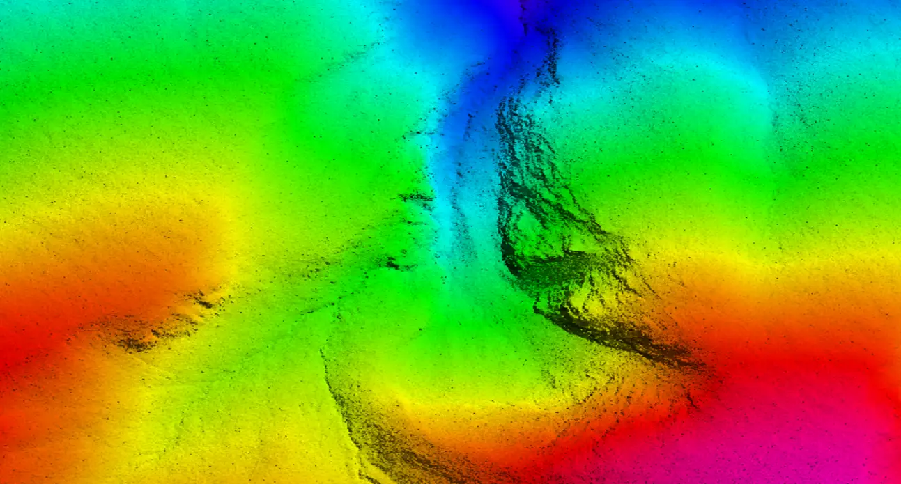
Digital Terrain Modeling (DTM)
LiDAR Data Services specializes in creating highly detailed digital terrain modeling (DTMs) for a wide range of applications. A DTM is a bare land or relief terrain model that contains spatial elevation data in digital format. Data files are displayed as a rectangular grid, and vegetation, buildings, and other artifacts are digitally removed.
Our DTM services are used for contour generation, orthophoto equalization, floodplain mapping, digital elevation models (DEM), 3D Elevation Models, volume calculations, and power line surveys. We use advanced post-processing tools and methods to detect errors and anomalies in DTMs and produce clean contours.
Our optional automatic method extracts DTM points from stereo pair images and generates a large number of DTM points by traversing the pyramid data structure and robust DTM modeling. If you're looking for accurate and detailed digital terrain models, LiDAR Data Services is the way to go.
Works
Our Work