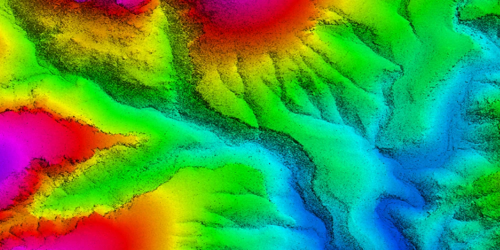
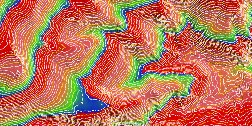
Ground & Non-Ground Classification
At LiDAR Data Services, we understand that accurate classification of soil and non-soil from LIDAR data is critical for a variety of applications. We use advanced algorithms and expertise to provide comprehensive solutions tailored to your specific needs.
Whether you work in urban planning, transportation, forestry, or any other field that requires accurate spatial data analysis, our LIDAR Ground Classification service guarantees excellent results. We use state-of-the-art techniques and methods to classify LIDAR points into ground and non-ground categories.
Our approach includes advanced algorithms that analyze point cloud data to accurately distinguish terrain surfaces and ground features. Leverage the unique properties of lidar data. Point density and height differences provide robust classification results even in complex environments. Our LIDAR Ground Classification service incorporates workflows to streamline data analysis and increase data accuracy.
Works
Our Work