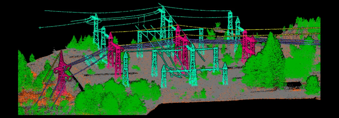
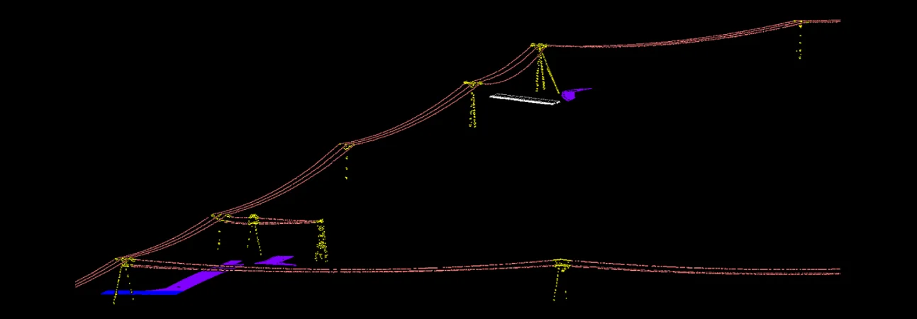
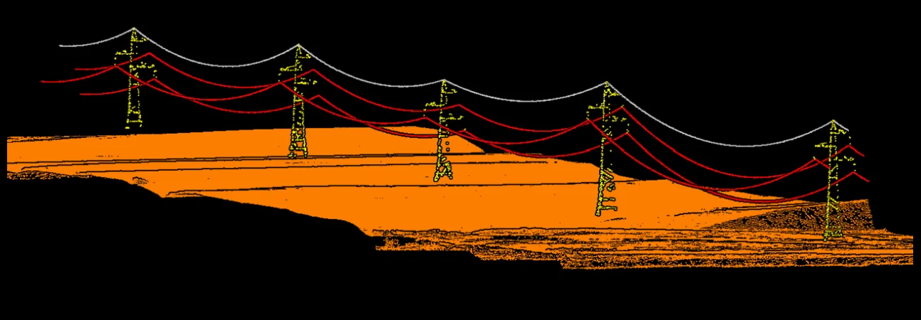
Powerline Classification and Mapping
LiDAR Data Services specializes in LiDAR Powerline Classification services used for various monitoring and planning activities. Our team of LiDAR experts has the expertise to create LiDAR Powerline Classification and other features according to client requirements. Our advanced spectral analysis helps to identify subtle differences in land cover using a variety of indices and functions.
This allows you to generate land cover and vegetation classes that reflect the complexity of the spectral characteristics of your image sources. And continues to evolve with advancements in LiDAR technology and data processing algorithms, enabling more accurate and efficient identification of powerline infrastructure from LiDAR point cloud data.
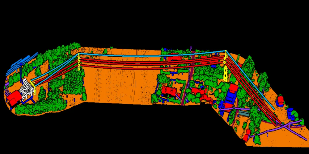
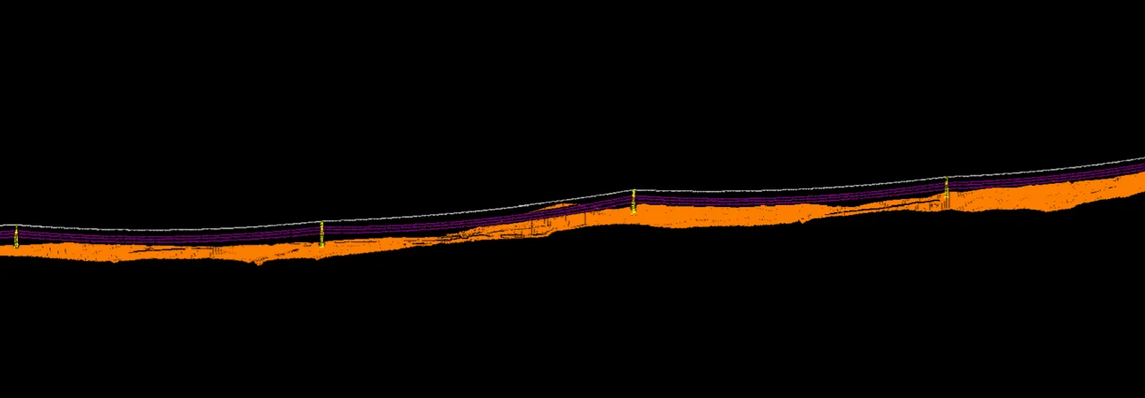
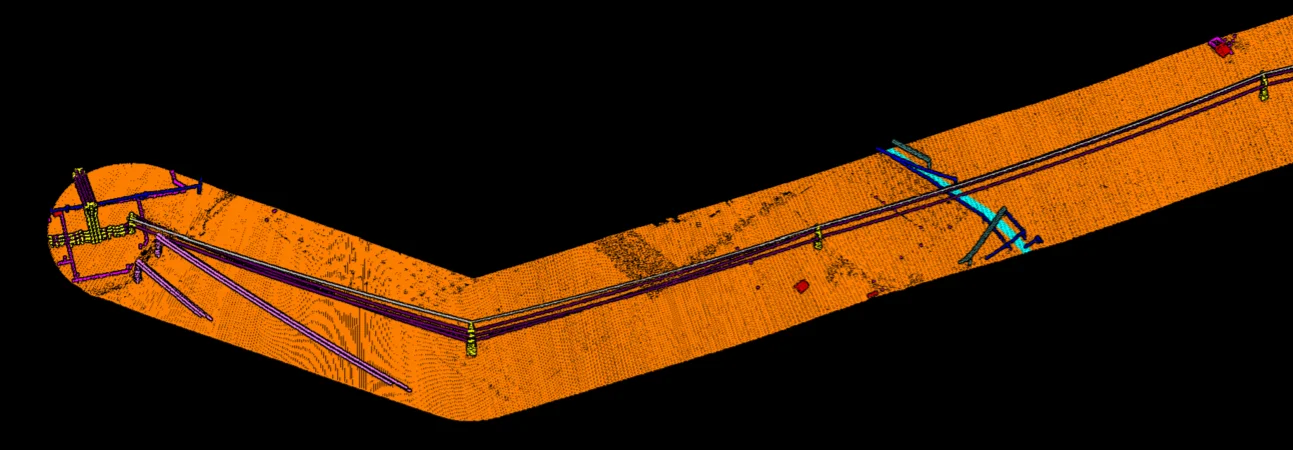
Works
Our Work