About Us
We are LiDAR Data Services (A Division of GeoShot Technologies), where we've sharpened our skills through a long time of exploring the ever-changing innovative environment. Our expertise lies in giving state-of-the-art arrangements within LiDAR Utility Mapping, enabling our clients to exceed expectations worldwide.
Driven by a talented team, we ceaselessly extend our services to clients around the world, leveraging technology's control to change and oversee ventures consistently. Central to our value, we're committed to guaranteeing client fulfillment and operational efficiency.

Our Services
Why Choose Us
High Precision
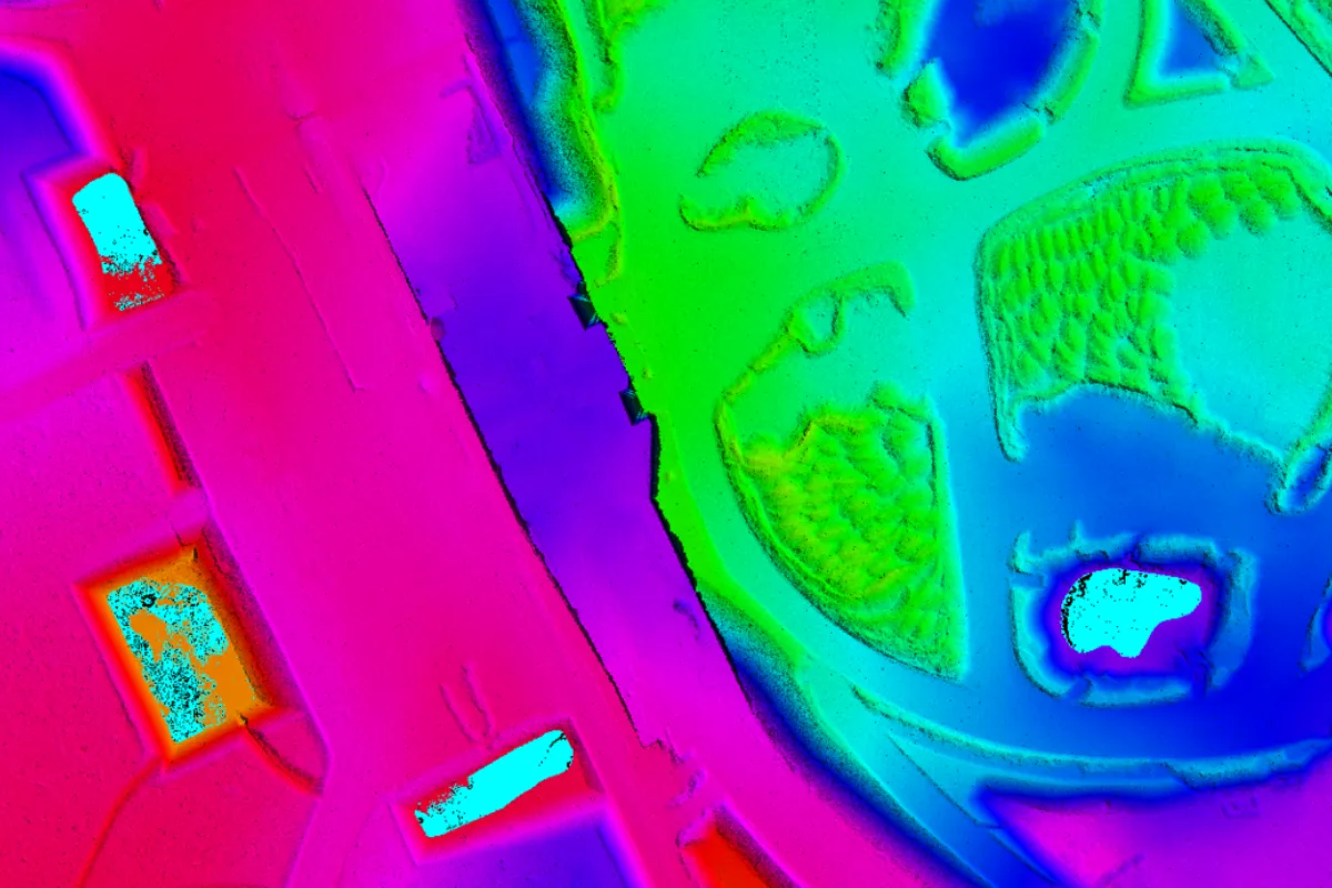
Our LiDAR Data Processing enables the extraction of high-precision spatial information. By analyzing the precise location and altitude of a laser spot, LiDAR processing can generate detailed 3D models with submeter accuracy, making it invaluable for applications such as topographic mapping, infrastructure planning, and environmental monitoring.
Advanced Visualization
We enable high-fidelity visualization of complex 3D environments. By 3D LiDAR Mapping, stakeholders can better understand spatial relationships and make informed decisions. Visualization tools such as interactive fly-throughs, virtual reality (VR), and augmented reality (AR) applications improve data interpretation and communication.
Efficient Data Fusion
LiDAR Data Processing facilitates the integration of LiDAR data with other geospatial datasets such as aerial photography, satellite imagery, and GIS data. Data fusion techniques can combine different datasets to improve the accuracy and completeness of information, enabling comprehensive analysis and decision-making.
Automated Workflow
Our LiDAR Data Processing automates repetitive tasks to streamline and improve efficiency. Automated data filtering, classification, and feature extraction algorithms minimize manual intervention, reduce processing time, and increase productivity. Additionally, automation ensures consistency and reproducibility of data processing results.
Scalability and Flexibility
The LiDAR Data Processing solution is scalable and can adapt to different project requirements and data volumes. Whether you're conducting a small survey or a large-scale regional mapping project, LiDAR processing workflows can be tailored to your specific requirements. Furthermore, advances in cloud computing and distributed processing enable scalable solutions for efficiently processing large LiDAR data sets.


 Chat on WhatsApp